Maps
Maps
Shop for
Your Wall Maps
Your Wall Maps
Paper
Laminated
Wooden Rails
Plastic Rails
Mounted
Basic Framed
Executive Framed
Magnetic
Map ReStickers
Map Add-Ons

Our Publishers


Wall Maps for
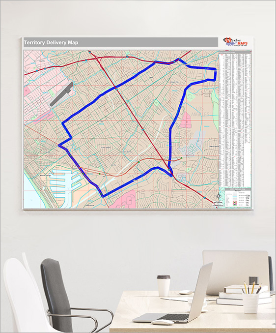
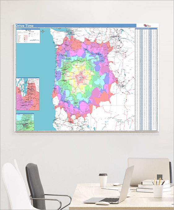
Delivery & Logistics
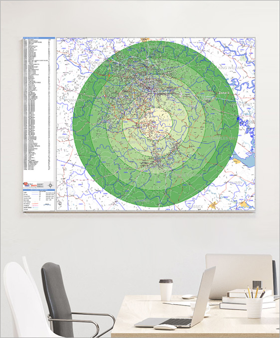
Plan routes, reference territories and keep your deliveries on track with custom wall maps.
Features Commonly Used on
Delivery & Logistics Wall Maps
Delivery & Logistics Wall Maps
Radius Rings
Drive Time Polygons
Custom Colors and Themes
Street Level Detail
Drive Time Polygons
Custom Colors and Themes
Street Level Detail
Highways
All Streets
Waterways
Border Crossings
Up-to-Date and Accurate Levels of GeographyAll Streets
Waterways
Border Crossings
ZIP Code Boundaries
County Boundaries
State Boundaries
Custom Boundaries & Territories
LaminatedCounty Boundaries
State Boundaries
Custom Boundaries & Territories
Draw, write and erase directly on maps
Custom Colors and Themes
Formats

Wall Maps
2x3 to 9x12 feet and larger
Laminated, Framed, Magnetic and more
Custom sizing available
Printed MapsLaminated, Framed, Magnetic and more
Custom sizing available
8.5x11 to 17x22 inches
Custom sizing available
Custom sizing available
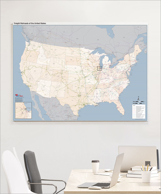
Freight Railroads of the United Sates Wall Map